|
search place name
|
||
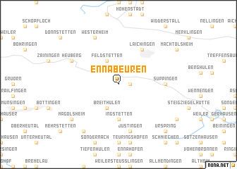
Ennabeuren (Baden-Württemberg, Germany)Ennabeuren is a town in the Baden-Württemberg region of Germany. An overview map of the region around Ennabeuren is displayed below.
regional and 3d topo map of Ennabeuren, Germany ::
Ennabeuren airports ::
The nearest airport is STR - Stuttgart, located 41.3 km north west of Ennabeuren.
Other airports nearby include FDH - Friedrichshafen (87.2 km south), AGB - Augsburg (94.9 km east), ZQL - Donaueschingen Villingen (99.2 km south west), ACH - St Gallen Altenrhein (107.5 km south), Nearby towns ::
Sontheim (1.2km east) //
Feldstetten (3.9km north) //
Breithülen (3.9km south) //
Ingstetten (5.6km south) //
Laichingen (6.1km north east) //
Suppingen (4.9km east) //
Justingen (7.5km south) //
Heuberg (6.2km north west) //
Westerheim (7.8km north) //
Magolsheim (7.4km south west) //
Gundershofen (8.3km south west) //
Urspring (8.9km south east) //
Hausen ob Urspring (8.9km south east) //
[all distances 'as the bird flies' and approximate] 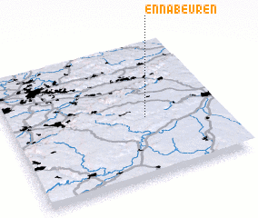
Disclaimer :: Information on this page comes without warranty of any kind |
||
|
Where is Ennabeuren? Elevation and coordinates ::
Latitude (lat): 48°27'0"N Longitude (lon): 9°39'0"E
Elevation (approx.): 770m (map arrows pan, magnifying glasses zoom) |
||
|
Visiting Ennabeuren? Hotel/Accommodation ::
Book a hotel in Ennabeuren Travel Guide ::
Buy a travel guide for Germany rental cars ::
car rental offers GPS waypoint ::
download a GPX waypoint (PoI) of Ennabeuren for your GPS receiver
|
||