|
search place name
|
||
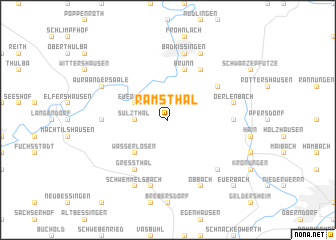
Ramsthal (Bayern, Germany)Ramsthal is a town in the Bayern region of Germany. An overview map of the region around Ramsthal is displayed below.
regional and 3d topo map of Ramsthal, Germany ::
Ramsthal airports ::
The nearest airport is GHF - Giebelstadt Aaf, located 54.4 km south of Ramsthal.
Other airports nearby include ZNF - Hanau Aaf (79.1 km west), NUE - Nuernberg Nurnberg (100.8 km south east), FRA - Frankfurt Main (109.7 km west), ERF - Erfurt (113.4 km north east), Nearby towns ::
Wirmsthal (1.9km north) //
Sulzthal (2.4km west) //
Euerdorf (3.0km north west) //
Wasserlosen (4.4km south west) //
Brunn (5.7km north) //
Arnshausen (6.0km north east) //
Reiterswiesen (6.0km north east) //
Greßthal (6.0km south west) //
Eltingshausen (5.1km north east) //
Ebenhausen (4.8km east) //
Engenthal (4.8km west) //
Rütschenhausen (7.5km south) //
Oerlenbach (5.1km east) //
Bad Kissingen (7.5km north) //
Kützberg (6.6km south east) //
Obbach (7.8km south) //
Sömmersdorf (7.8km south) //
Schwemmelsbach (7.8km south) //
Winkels (7.8km north) //
Aura an der Saale (6.0km north west) //
Euerbach (8.8km south east) //
[all distances 'as the bird flies' and approximate] 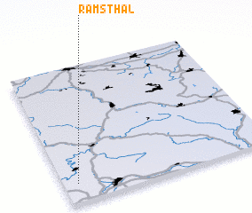 Places with similar names to Ramsthal, Germany ::
// Romsthal (DE)
Disclaimer :: Information on this page comes without warranty of any kind |
||
|
Where is Ramsthal? Elevation and coordinates ::
Latitude (lat): 50°8'0"N Longitude (lon): 10°4'0"E
Elevation (approx.): 301m (map arrows pan, magnifying glasses zoom) |
||
|
Visiting Ramsthal? Hotel/Accommodation ::
Book a hotel in Ramsthal Travel Guide ::
Buy a travel guide for Germany rental cars ::
car rental offers GPS waypoint ::
download a GPX waypoint (PoI) of Ramsthal for your GPS receiver
|
||