|
search place name
|
||
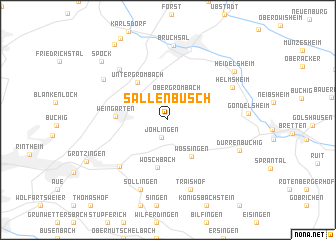
Sallenbusch (Baden-Württemberg, Germany)Sallenbusch is a town in the Baden-Württemberg region of Germany. An overview map of the region around Sallenbusch is displayed below.
regional and 3d topo map of Sallenbusch, Germany ::
Sallenbusch airports ::
The nearest airport is ZQC - Speyer, located 29.3 km north of Sallenbusch.
Other airports nearby include ZCC - Baden-baden Baden Oos (40.8 km south west), MHG - Mannheim City (46.9 km north), STR - Stuttgart (62.1 km south east), RMS - Ramstein Ab (83.0 km north west), Nearby towns ::
Jöhlingen (2.0km south) //
Obergrombach (2.8km north) //
Wössingen (4.4km south east) //
Untergrombach (4.8km north west) //
Wöschbach (5.4km south) //
Weingarten (3.9km west) //
Berghausen (6.2km south west) //
Büchenau (6.6km north west) //
Helmsheim (5.9km north east) //
Traishof (7.9km south) //
Söllingen (8.0km south) //
Bruchsal (8.4km north) //
Staffort (6.5km north west) //
Dürrenbüchig (6.2km south east) //
Heidelsheim (7.3km north east) //
Spöck (8.2km north west) //
Neuthard (9.3km north west) //
[all distances 'as the bird flies' and approximate] 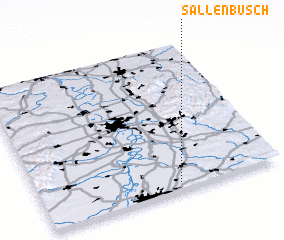 Places with similar names to Sallenbusch, Germany :: Disclaimer :: Information on this page comes without warranty of any kind |
||
|
Where is Sallenbusch? Elevation and coordinates ::
Latitude (lat): 49°3'10"N Longitude (lon): 8°34'40"E
Elevation (approx.): 191m (map arrows pan, magnifying glasses zoom) |
||
|
Visiting Sallenbusch? Hotel/Accommodation ::
Book a hotel in Sallenbusch Travel Guide ::
Buy a travel guide for Germany rental cars ::
car rental offers GPS waypoint ::
download a GPX waypoint (PoI) of Sallenbusch for your GPS receiver
|
||